Digital data are the building blocks of innovative services in a smart city. Especially Open Data from the public authorities. Some important data can already be freely consulted and reused in the Brussels-Capital Region.
With Open Data, the requirement for transparency in the public authorities in digital terms is fulfilled. By opening up their data, the authorities enable the development of new services beyond their confines.
For example, with
the Brussels Region Open Data licence (French PDF) an accurate map can be provided on a private website, based on official geographic data from the
Urbis Brussels regional cartography. This means that it is possible for everyone to reuse the data from this digital map of the Brussels-Capital Region free of charge in order, among other things, to:
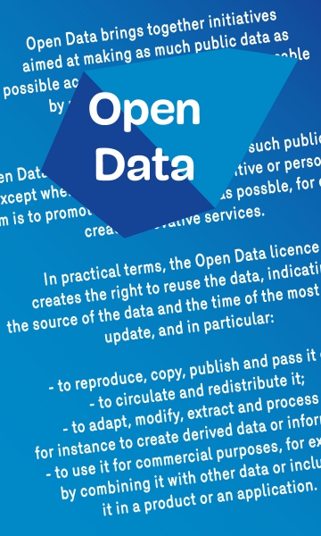
- reproduce, copy, publish and forward them;
- circulate and redistribute them;
- adapt, modify, retrieve and transform them, and in particular create derived data or information;
- exploit them commercially, for example by combining them with other data or including them in a product or an application.
This Open Data licence has been drawn up by the BRIC, the
Brussels Regional Informatics Centre, with the collaboration of
Brussels Mobility which also provides open data. Among other things, data on events and work impacting on traffic in the Brussels Region are available in open format.
An Open Data licence for the entire RegionThe regional Open Data licence has set the process in motion for the entire Brussels Region. Its provisions can be adapted for all data that the Brussels public authorities wish to open up to the general public. Moreover, the Brussels-Capital Region is not alone in working in this field. At local level, for instance, a series of
data from the City of Brussels is also open for general use.
