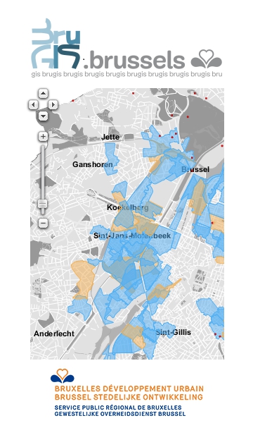
The mapping site BruGIS is a Geographic Information System (GIS) that presents spatial data and the associated textual information.
The mapping site
BruGIS®, a fantastic and constantly updated tool for managing regional development, provides all the most recent urban planning information available in the Brussels Region. A search engine allows you to locate your address, view your house on the aerial photo of Brussels, find out the usage of the buildings around you, find the Designated Land Use Plans (PPAS), housing schemes, zones of archaeological potential, areas in which certain premiums are granted, listed sites, etc.
BruGIS® is aimed at regional development professionals, such as urban planners, architects and notaries, as well as municipal administrations, but it is also a valuable source of information for everyone in Brussels, including inhabitants, residents, workers and students.
BruGIS has a number of functionalities:
- navigation on the map is easy and intuitive;
- the keys to the different map levels are displayed, making the cartographic information directly visible;
- a localisation tool allows users to easily search for an address and receives daily updates from Urbis (Brussels Region database);
- the interface can be controlled with the fingers on any tablet device;
- a map saving tool allows users to save several maps with different layers and to load them depending on their needs;
- the preference tool makes it possible to manage the global use of the site, particularly the choice of which map will be displayed when BruGIS is launched, which tab (data or key) will be selected by default and whether there will be one or several address search results;
- BruGIS can view data from other bodies, such as the Brussels Institute for Environment Management (IBGE) and Brussels Regional Informatics Centre (CIRB).
BruGIS recently uploaded a new tool called Urbanalyse
Urbanalyse is a tool for receiving an analysis report containing all the information from the BUD regarding a plot or zone defined by the user.
In just a few minutes, you can find out a zone's urban planning status, i.e. have all the urban planning information (PRAS zone, RRU zone, district contracts, PPAS, architectural and natural heritage, etc.).
The WebServices
BruGIS® is composed of a
data visualisation portal on the one hand and a map data server on the other hand. This server is at the heart of what is displayed in
BruGIS. Amongst other information, it publishes Brussels Urban Development data in the form of WebServices that can be questioned and used by any
GIS web client or
desktop client. The
Geoserver technological solution adopted by BruGIS® for this map data server offers
WebServices such as a
WMS and a
GWC that strictly comply with
OGC standards. These standards have become the international standard for map web publication.
The future
The BruGIS platform is constantly evolving as a result of technological advances and changing user needs. The BruGIS team is currently working on setting up a mobile platform that will make it easier for all smartphone, tablet and phablet users to browse all the map data provided by BUD.
The BruGIS platform is managed by Brussels Urban Development and is directly accessible at
www.brugis.brussels
The BruGIS team is available to provide any additional information via the two websites:
www.brugis.brussels and
www.urbanisme.brussels Or directly at the address brugis@sprb.brussels